
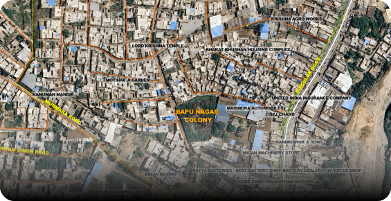
Geospatial Intelligence
We build geospatial foundations with GIS, analytics, remote sensing, 3D, and location intelligence—enabling better understanding of assets, networks, and environments.
Explore Geospatial Intelligence →
Stesalit is a geospatial-led System Integrator helping governments and enterprises connect spatial
intelligence with enterprise technology to create connected systems, informed
decisions
and smarter operations.
Delivering geospatial and technology-led solutions across infrastructure, utilities, natural resources and environmental applications.










The physical world is inherently spatial — assets, networks, infrastructure, communities and natural resources all exist within a geographic context. Stesalit brings this spatial intelligence into enterprise environments by integrating GIS, spatial data, enterprise applications, IoT and operational systems into one connected technology ecosystem.
Our work spans the complete journey from understanding spatial information to integrating it with enterprise systems and using it to support planning and decision-making.
We build geospatial foundations with GIS, analytics, remote sensing, 3D, and location intelligence—enabling better understanding of assets, networks, and environments.
Explore Geospatial Intelligence →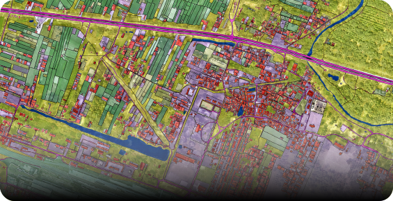
We combine geospatial and planning expertise to help governments shape cities, regions, and infrastructure through GIS-based planning, land use, and mobility solutions.
Explore Planning & Consultancy →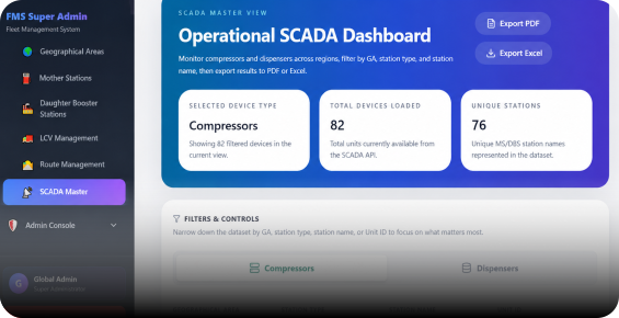
We connect geospatial systems with enterprise, IoT, asset, and operational platforms—enabling seamless data flow and smarter decisions.
Explore System Integration →We bring together the right combination of geospatial data, technology, systems and domain expertise to solve complex real-world challenges.

Build a spatial understanding of assets, networks, environments and places.

Connect geospatial information with enterprise, operational and real-time systems.

Transform connected data into insights through spatial analytics and intelligent visualization.

Enable better planning, monitoring, management and decision-making.
Our capabilities are applied where location, assets, infrastructure and operational data intersect.
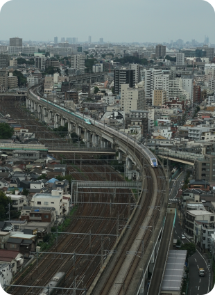
We apply geospatial intelligence and integrated technology to urban environments and transportation infrastructure — supporting planning, asset management, monitoring and decision-making.
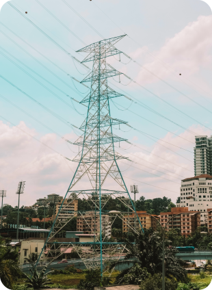
We integrate geospatial, enterprise and real-time technologies to help utilities understand, manage and monitor complex networks and assets.
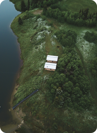
We combine GIS, remote sensing, spatial analytics and integrated technologies to support the monitoring and management of natural resources, forests and environmental risks.
Our solutions bring together geospatial data, enterprise systems, connected technologies and domain expertise to address complex challenges across industries.
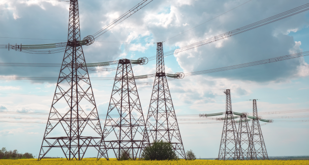 POWER TRANSMISSION
Drone-based LiDAR and satellite imagery deployed for fault detection and infrastructure monitoring across transmission networks.
Read More →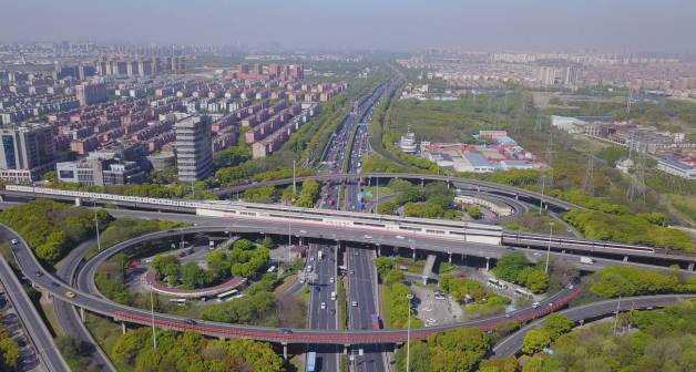 INFRASTRUCTURE
UAV and satellite imagery combined with CAD/BIM systems to support real-time construction progress tracking and design compliance.
Read More →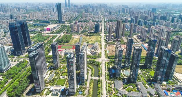 URBAN
URBAN
Geospatial planning and connected sensor networks supporting urban asset management and growth forecasting for municipal bodies.
Read More →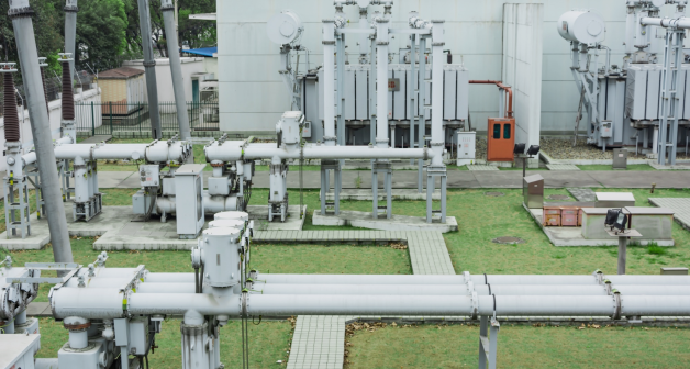 OIL & GAS
Satellite imagery and thermal inspection technologies supporting monitoring across complex pipeline infrastructure.
Read More →Stesalit brings together geospatial technology, systems integration and planning expertise to address challenges where spatial information meets enterprise operations.
Stesalit is part of Trentar Group, backed by $1B+ Dorf Ketal Chemicals, bringing greater operational scale, global expertise & strong governance.

From connected infrastructure to smarter utilities and better-planned environments, Stesalit brings geospatial technology and enterprise systems together to solve complex challenges.