
Connecting Systems. Creating One Digital Ecosystem.
Stesalit connects GIS, enterprise applications, IoT, operational systems, and data into a unified technology ecosystem for smarter, integrated decision-making.
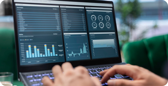
Disconnected Systems.
Fragmented Information.
Organizations rarely run on a single system. GIS, asset management, enterprise applications, SCADA, IoT platforms and operational databases often exist independently, creating information silos, manual workflows and fragmented visibility.
The result is:
Siloed Data
Information distributed across multiple systems and formats.
Manual Processes
Teams spending time moving, reconciling and validating information.
Limited Visibility
Critical operational information remains distributed across platforms.
Slower Decisions
Decision-makers lack a unified view of assets, networks and operations.
We Bring Everything Together.
Stesalit creates an integration layer that connects data, applications, systems and physical assets. Our approach combines enterprise GIS, APIs, data integration and operational technologies to create a connected environment where information can move seamlessly across systems.

Secure
Designed around controlled access, data security and enterprise requirements.

Interoperable
Connect existing systems through APIs, standards and integration frameworks.

Scalable
Architecture designed to evolve with your technology environment.

Real-Time
Enable information to move from field systems & assets into operational platforms.

Unified
Bring spatial, operational & business information into a common environment.
Comprehensive Solutions For Every Enterprise Need
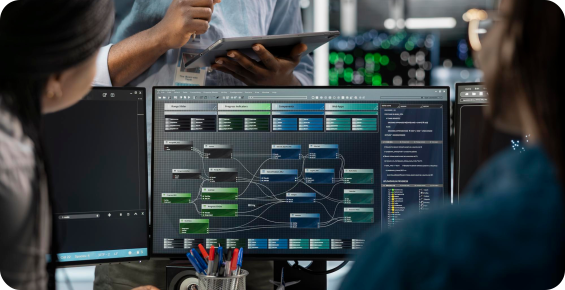
Enterprise GIS & Web GIS
Create a centralized spatial environment for visualizing, managing and analyzing enterprise information.
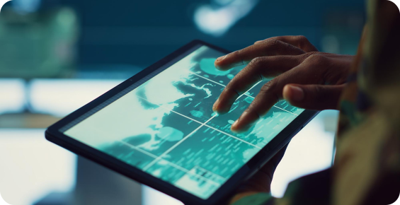
Enterprise Integration
Connect the systems that run your organization.
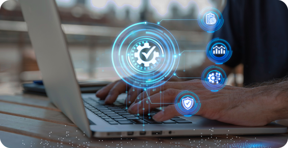
Data Integration
Bring information from multiple sources into one reliable environment.
Digital Platforms & Visualization
Turn integrated information into intuitive operational interfaces.
Where Integration Creates Impact
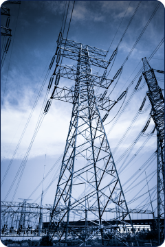 Power
Power
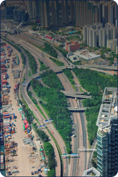 Public Infrastructure
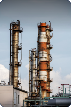 Oil & Gas
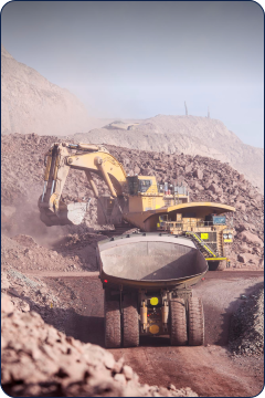 Mining
 Cities & Urban
One Connected Ecosystem. Better Decisions.
Access connected information through a common environment.
Reduce the time required to find and reconcile information.
Understand assets and operations in context.
Automate information flows between systems.
Build an environment that can grow with your organization.

Ready to Connect Your Systems?
Let’s build an integrated digital ecosystem around your operations.