

Real-Time Mining Operations Monitoring
IoT-enabled sensors and cameras for continuous site monitoring; air quality, dust, and noise tracking.
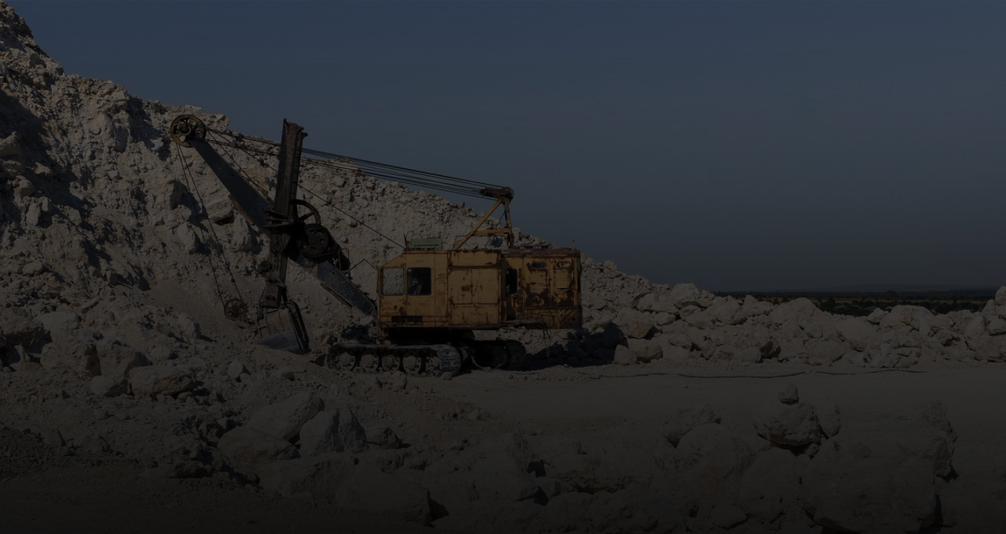
Combining GIS, remote sensing, and IoT to monitor natural resources, protect ecosystems, improve safety, and build resilience.
Mining operations, forests, and disaster-prone regions share a common challenge — they span vast, often remote and dynamic terrain where accurate, real-time spatial data is critical to safety, sustainability, and response.
Our GIS, remote sensing, and IoT-based solutions provide actionable insights across Mining, Forestry, and Disaster Management, helping agencies and operators monitor land, track environmental change, and respond faster when it matters most.
Our expertise spans aerial and ground-based surveys, vegetation and land-cover mapping, geophysical data integration, and GIS-based analytics — giving decision-makers the visibility to plan operations, track compliance, and manage risk across the full lifecycle of a landscape or project.
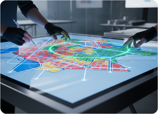
IoT-enabled sensors and cameras for continuous site monitoring; air quality, dust, and noise tracking.

Aerial NDT-UT testing, void estimation, overburden dumping and structure mapping.

Haul road width/gradient analysis, pit and dump slope analysis.

IoT sensors on mining and processing equipment with predictive analytics and automated alerts.

Wearable IoT devices, smart ID cards with panic buttons, real-time alerts for hazardous conditions.

Real-time monitoring of ore quality during extraction and processing.



FSForest app for PDA/Android/Web, real-time field personnel tracking on a single dashboard.

Remote sensing-based classification and change detection.

Layered administrative mapping for planning and enforcement.

Sensor-based tracking of wildlife movement and human-wildlife conflict.

Device usage, application update, and login analytics for field applications.

Continuous monitoring of emissions, waste, and pollution with automated regulatory reporting.

Isohyet analysis and area rainfall estimation software developed for the Indian Meteorological Department.

GIS modeling of chemical/hazardous industries for the Ministry of Environment & Forests.

Sensor-based hazardous condition detection with automated emergency alerts.

Baseline assessment, capacity building and change-management support for disaster-prone regions.

Environmental impact and capacity studies for sensitive ecological sites.
Monitor land cover, vegetation, and environmental changes.

Support exploration with accurate subsurface and terrain data.

Capture reliable insights across large and remote areas.

Optimize extraction through precise spatial mapping.

Enable sustainable and data-driven land management.

Monitor workers and assets with real-time alerts.
Our solutions bring together geospatial data, enterprise systems, connected technologies and domain expertise to address complex challenges across industries.
 MINING
 FORESTRY
 DISASTER
 URBAN
URBAN