
Transforming Places. Enabling Progress.
Stesalit combines urban planning ability, geospatial intelligence, engineering and field data to help governments & development organizations plan, develop and manage better places.
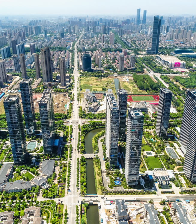
Cities Are Complex Systems.
Urban development is not just about land. It is about how people, infrastructure, mobility, environment, housing and economic activity interact.
Planning decisions require a clear understanding of:
Land
How land is being used and how it can evolve.
People
Who lives, works and moves through an area.
Infrastructure
What exists, what is missing and what needs to grow.
Environment
What needs to be protected and made resilient.
Plan With Data. Design With Context.
We combine planning expertise with GIS, surveying, remote sensing, field intelligence and spatial analytics to create evidence-based planning solutions.

Understand
Assess existing conditions.

Map
Build accurate spatial datasets.

Analyse
Identify patterns, gaps and opportunities.

Plan
Develop spatial and infrastructure strategies.

Design
Translate plans into implementable interventions.

Monitor
Track development and changing conditions.
Comprehensive Solutions
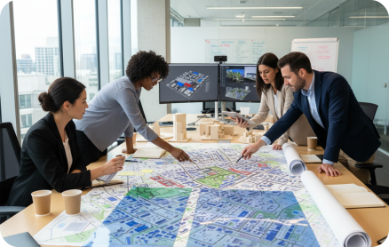
Statutory & Spatial Planning Plan Growth with Purpose.
Develop frameworks that guide orderly and sustainable urban development.
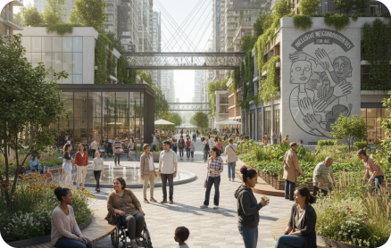
Housing & Community Development Plan for People. Build Inclusive Communities.
Support housing and community strategies based on population, demographic and infrastructure needs.
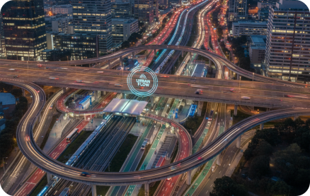
Infrastructure & Mobility Planning Plan the Infrastructure Cities Depend On.
Support critical infrastructure planning across water, sanitation, mobility and public utilities.

Surveys & Planning Intelligence Better Planning Starts with Better Data.
Generate the evidence required to understand existing conditions and make informed planning decisions.
Planning Across The Urban Development Lifecycle
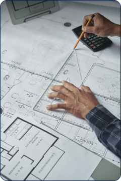 Master Planning
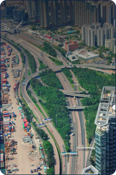 Land & Development
 Housing
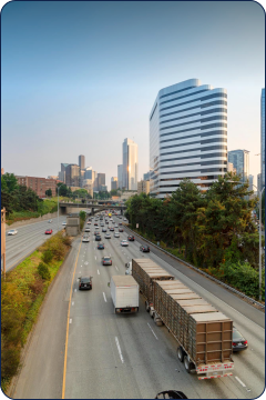 Transportation
 Water & Sanitation
Better Plans. Better Places. Dynamic Places.
Make informed decisions using accurate spatial and operational data.
Identify and prioritize critical infrastructure needs.
Plan and manage land use with greater spatial clarity.
Connect infrastructure, mobility, utilities, and city data.
Deliver better services and more responsive urban planning.
Support long-term growth with smarter, resilient planning.

Let’s Plan What’s Next.
Bring together spatial intelligence, planning expertise, and infrastructure knowledge to create better places.