
Capture the World. Unlock Spatial Insight.
Stesalit combines surveying, GIS, spatial data and analytics to turn physical environments into digital insights for infrastructure, planning, engineering and operations.
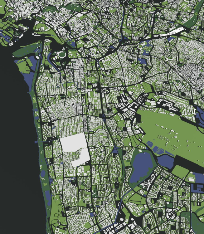
You Can’t Manage.
What You Can’t See.
Infrastructure exists in the physical world—but the information required to manage it is often incomplete, fragmented or outdated.
Organizations need to know:
Where is it?
The precise location of assets, networks and infrastructure.
What exists?
Accurate information about physical features and assets.
What condition is it in?
Current field and inspection information.
How is it connected?
Spatial relationships between assets, networks and surroundings.
From Reality to Digital Intelligence.
We combine field surveying, GIS, spatial databases and analytics to create a reliable digital representation of the physical environment.

Capture
Collect accurate information from the field.

Map
Transform physical features into structured spatial data.

Validate
Ensure accuracy, completeness and consistency.

Integrate
Connect spatial information with enterprise and operational systems.

Analyse
Turn location into actionable intelligence.

Visualise
Present information through maps, dashboards and digital platforms.
Our Solutions Area
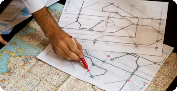
Surveying & Mapping
Capture high-quality spatial information using modern surveying and field technologies.
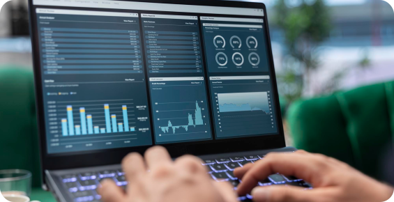
GIS Mapping & Data
Transform field and source information into structured geospatial datasets.
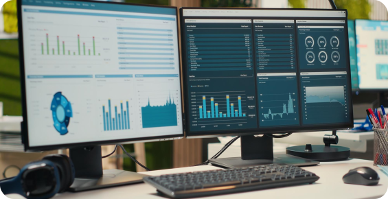
Spatial Data Management
Create a reliable spatial foundation for enterprise applications.
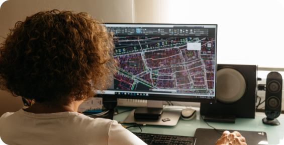
Spatial Analytics
Move beyond maps to understand relationships, patterns and change.
Where Geomatics Creates Impact
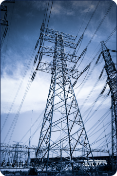 Utility Networks
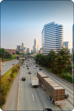 Transportation
 Urban Development
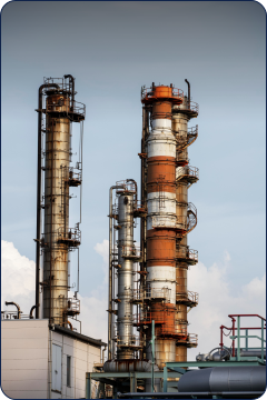 Oil & Gas
 Public Infrastructure
Better Data. Better Decisions.
Capture precise, reliable data for better understanding of assets and environments.
Gain a clear view of assets, locations and conditions.
Build planning and engineering decisions on accurate spatial data.
Integrate spatial data with enterprise and operational systems.
Turn location-based insights into faster, more informed decisions.

Build Your Spatial Foundation
Turn the physical world into accurate, actionable digital information.