

Transmission & Distribution Network Mapping
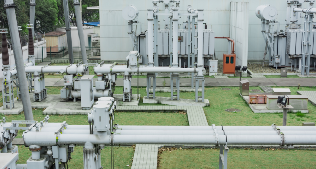
GIS mapping of transmission lines, EHV cables, towers, and substations integrated with GIS survey data.
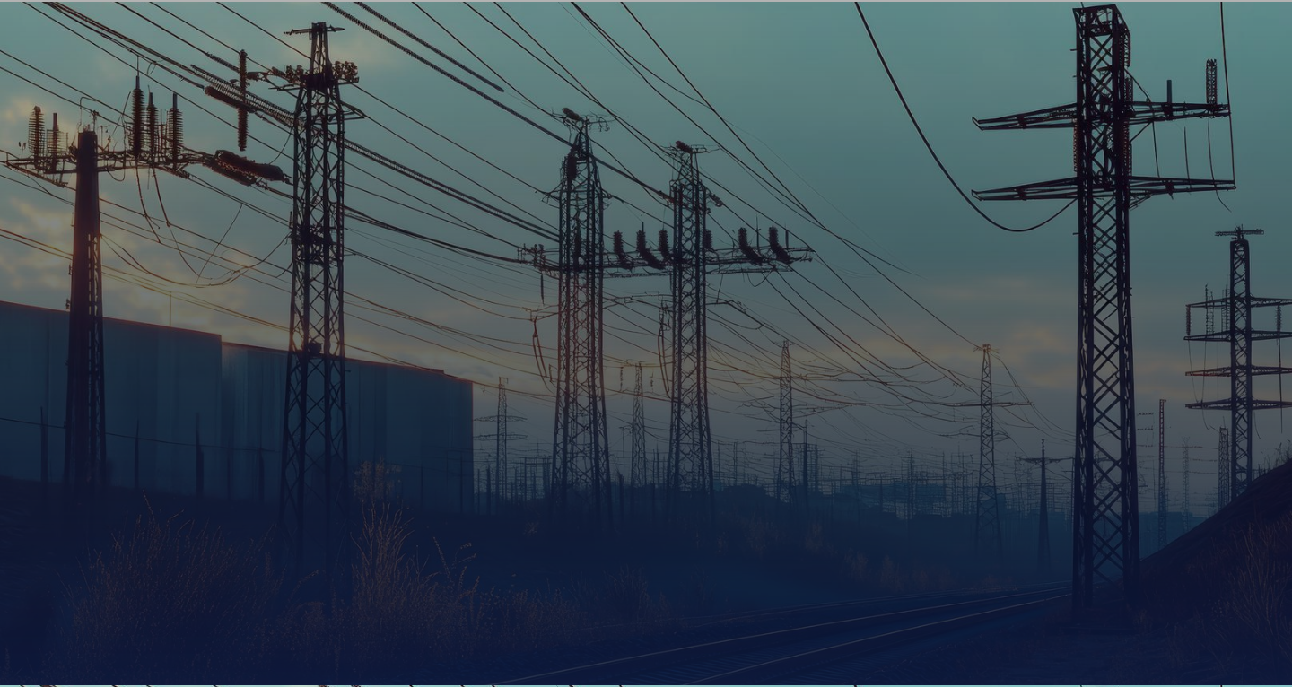
Connecting GIS, IoT, and asset intelligence to help utilities map, monitor, and manage critical infrastructure in real time.
Utilities are the backbone of modern infrastructure — and reliable service delivery depends on accurate spatial data, connected systems, and intelligent monitoring. GIS provides end-to-end visibility, asset intelligence and field data to help utility organizations manage their networks, improve efficiency in real time, and make data-driven operational decisions.
Our expertise spans the complete utility asset lifecycle — from planning, design and construction through operations, maintenance and field management. We combine GIS, enterprise geospatial platforms, network mapping, IoT applications and location intelligence to create connected utility environments.
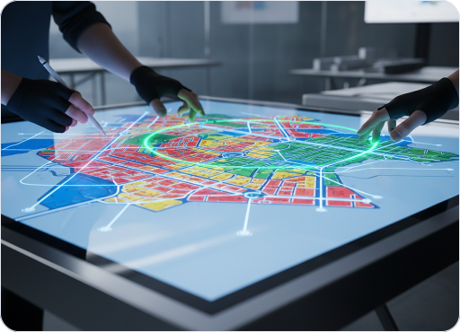
GIS mapping of transmission lines, EHV cables, towers, and substations integrated with GIS survey data.

IoT-enabled smart meters for real-time energy usage tracking, automated billing, remote diagnostics.

Real-time grid performance monitoring, predictive maintenance, and dynamic load balancing.

Smart grid integration for solar and wind, real-time production monitoring, and energy management.

GIS-based substation listing, meter configuration, asset inventory and analytics.

IoT-enabled demand monitoring and dynamic pricing based on real-time consumption.



High-precision DGPS and GPR surveys for pipeline corridors and right-of-way management.

Establishment of asset management systems under critical sections for pipeline networks.

Utility locator surveys, asset data collection, and standardized geospatial datasets.

Centralized dashboards for asset visibility, infrastructure planning and operational reporting.

Field-verified data capture integrated with central GIS systems and enterprise workflows.

Continuous data quality assurance across pipeline and facility datasets.

Accurate field surveys for reliable underground and surface asset data.
Capture and update utility data directly from the field.

Build accurate, centralized records of critical utility assets.

Organize, integrate and migrate geospatial utility data efficiently.

Map transmission and distribution networks for better visibility and management.

Ensure accurate, consistent and reliable utility datasets.

Connect utility data through centralized, interactive GIS platforms.

Use IoT intelligence to monitor assets and optimize utility operations.
Our solutions bring together geospatial data, enterprise systems, connected technologies and domain expertise to address complex challenges across industries.
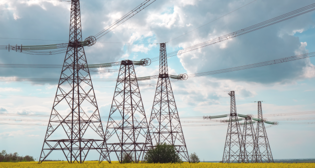 TRANSPORT
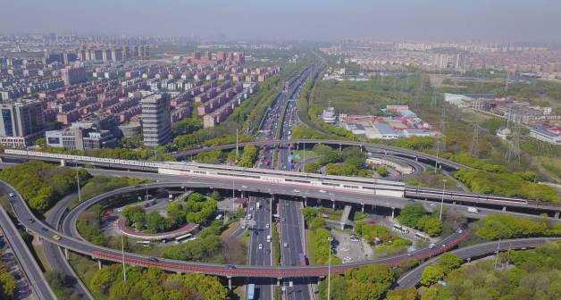 URBAN
URBAN
 UTILITY
 URBAN
URBAN